Locate, map and manage underground services with confidence.
VFT provides a full suite of service locating and utility surveying services to help clients safely and efficiently deliver infrastructure projects.
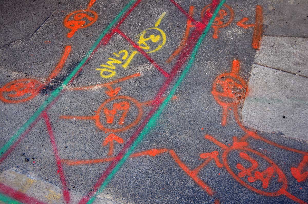
From early design stages through to excavation and construction and quality lot close out our team supports accurate detection and mapping of underground services.
We are BYDA-certified and AS5488-compliant, with years of experience supporting major projects across civil, rail and utilities sectors. Whether working alongside site crews or supporting design in gap analysis and clash detection, VFT delivers trusted utility locating results to reduce risk and ensure compliance.
VFT provides utility locating and mapping services including:
Pipe and Cable locating (EMF & GPR)
AS5488 compliant utility locating and mapping
Potholing support and mark-up surveys
Permit To Excavate customisation
Utility Data Managers
12D Model Utilities Specialists
BYDA lodgement and response management
Utility gap analysis and potholing management
Our other services
Civil & Major Road Construction Surveying
Built for Delivery, Backed by Accuracy
Tailored surveying for civil, road and rail projects, all delivered with strict compliance and construction-ready detail.
3D Laser Scanning & Digital Engineering
Model with Confidence, Build with Certainty
Capture complex environments with millimetre-accuracy scans for design validation and clash detection.
Rail Surveying
Smooth Rail Starts with Seamless Data
End-to-end rail corridor services, from feasibility to as-built, all supporting safety, alignment and commissioning.
Registered & Cadastral Surveys
Legal Clarity for Every Boundary
Licensed and compliant surveys for property definition, land registration, and strata plans.
RPAS Aerial Surveying
Safe, Scalable, Surveying from the Sky
Tailored surveying for civil, road and rail projects delivered with strict compliance and construction-ready detail.
CAD & Drafting Services
From Field Data to Drawings That Deliver
Efficient, clear documentation tailored for engineers, designers and approval workflows.

