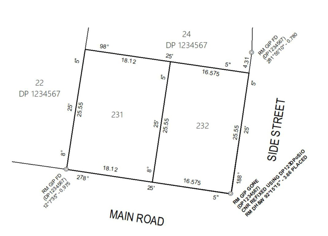
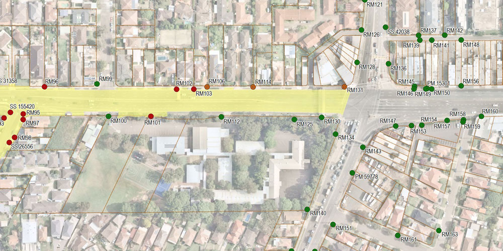
Registered and Cadastral Surveys
Title and boundary surveys for land development, infrastructure and legal certainty.
VFT’s registered surveyors deliver accurate cadastral services for residential, commercial and infrastructure projects.
We support developers, builders and government clients by ensuring land titles and boundaries are clearly defined and legally compliant.
VFT specialises in surveys for:
- Protection of Survey Infrastructure (POSI)
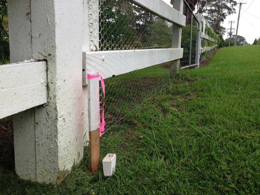
- Boundary re-establishment, title surveys
- Easements, covenants & restrictions
- Boundary definition and marketing
- Detail and identification
- Subdivisions, consolidations & identification plans