3D Laser Scanning & Digital Engineering
High-resolution scanning and data modelling for design validation and digital integration.
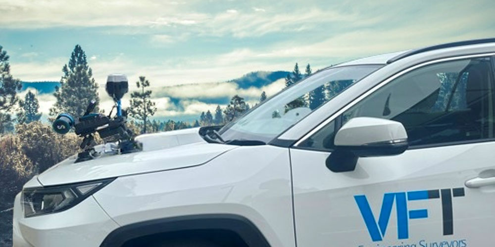
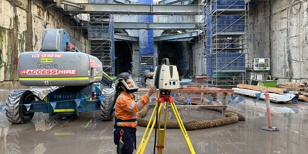
VFT Engineering Surveyors delivers high-accuracy 3D laser scanning services using a combination of terrestrial, mobile and aerial technologies.
Our scans are processed in-house to produce detailed digital twins, point clouds and virtual walkthroughs that support design validation, clash detection and QA across planning and construction phases.
VFT provides survey grade 3D scanning and digital engineering support for:
- Terrestrial, mobile and aerial LiDAR
- BIM and CAD construction QA
- Design vs as-built model verification
- Digital twin creation and data modelling
- Point cloud production and clash detection
- Orthorectified aerial imagery/video