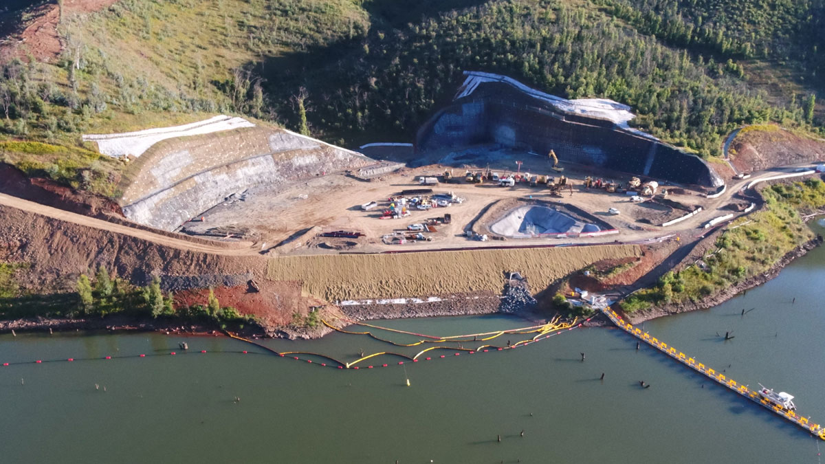
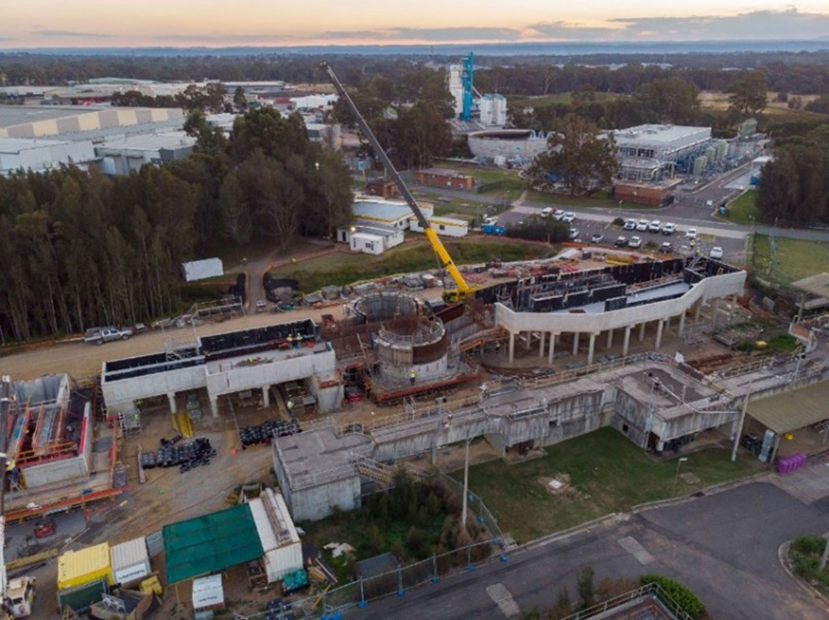
RPAS Aerial Surveying
Advanced aerial data capture for comprehensive site analysis and project planning.
VFT Engineering Surveyors delivers accurate and efficient aerial surveying using Remotely Piloted Aircraft Systems (RPAS).
Our CASA certified survey pilots use advanced drones and payloads to capture high-resolution LiDAR models, imagery and elevation data that support planning, progress monitoring and asset reporting.
VFT specialises in:
- Terrestrial, mobile and aerial LiDAR
- BIM and CAD construction QA
- Design vs as-built model verification
- Digital twin creation and data modelling
- Point cloud production and clash detection
- Orthorectified aerial imagery/video